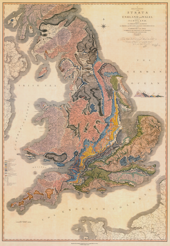
A Delineation of the Strata of England and Wales with a Part of Scotland, Exhibiting the Collieries and Mines, the Marshes and Fen Lands Originally Overflowed by the Sea, and the Varieties of Soil According to the Variations in the Substrata, Illustrated by the Most Descriptive Names”
William Smith, 1769–1839
Londres: J. Cary 1 de agosto de 1815
Reducción copia facsímil [2003] del mapa original de Smith grabado en cobre de
127 por 88 cm [Cartoteca].
Mapa histórico de Smith. Fueron impresas del original 400 copias numeradas y firmadas, y se sabe que sólo sobreviven unos 40 ejemplares. Fue dedicado al naturalista y botánico inglés Sir Joseph Banks [1743-1820], quien era seguidor de Smith y el primer subscriptor. Entre otras cosas, el mapa cambia el concepto humano del tiempo e introduce la noción de tiempo geológico.
